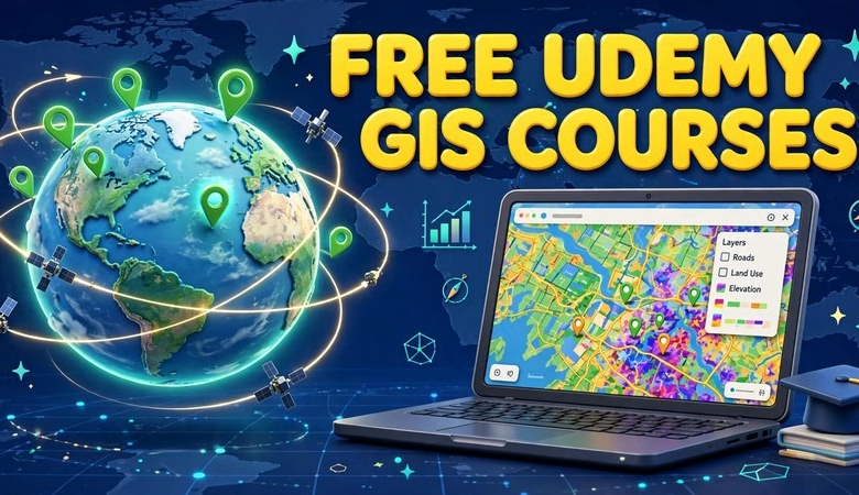
Looking for free Udemy GIS courses you can actually enroll in without paying a cent? This guide lists 6 GIS and remote sensing courses on Udemy that show a $0 enrollment price right now — no coupon codes, no trial tricks, no credit card required. Each course was checked live on its official Udemy page before publishing. Whether you are a student starting your first GIS class or a working professional adding remote sensing to your resume, you can start learning today for free.
Free Udemy GIS Courses: What’s Free to Enroll Right Now
Most “free Udemy courses” lists mix paid courses with expired 100%-off coupons. This list is different. Every course below is natively free — Udemy’s own pricing shows $0 and “Enroll now” on the course page. You get lifetime access to the lectures, downloadable resources, and a certificate of completion, the same as any paid Udemy course.
Free at the time of publishing — Udemy changes prices, so check the course page before you enroll.
Quick comparison of the 6 free courses
| Course | Instructor | Level | Length | Rating |
|---|---|---|---|---|
| Introduction to GIS | MD Shahriar Alam | Beginner | 19 lectures / 1h 52m | 4.3 (1,155 ratings) |
| Foundations of GIS Remote Sensing | Francisco Molina Villagrán | Beginner | 15 lectures / 1h 9m | 4.0 (31 ratings) |
| Introduction to PyQGIS | Konrad Hafen | Intermediate | 11 lectures / 1h 6m | 4.2 (263 ratings) |
| Developing QGIS Python Plugins | Konrad Hafen | Intermediate | 9 lectures / 47m | 3.9 (224 ratings) |
| Raster and Vector Operations with PCI Geomatics | Jean-Sébastien Bouffard | Beginner | 8 lectures / 48m | 4.5 (233 ratings) |
| Geospatial Image Visualization with PCI Geomatics | Jean-Sébastien Bouffard | Beginner | 9 lectures / 43m | 4.5 (225 ratings) |
1. Introduction to GIS — best for absolute beginners
By MD Shahriar Alam (Shahriar GIS School) · 4.3 stars · 1,155 ratings · 13,937 students · updated 8/2026 · 19 lectures (1h 52m) · English
The perfect first course if you have never opened a GIS program. It explains what GIS is, the types of GIS, desktop vs web GIS, and introduces the ArcGIS software family (ArcMap, ArcGlobe, ArcScene, ArcCatalog). The course description states it is fully free, with lifetime access, a quiz, and downloadable resources.
Pair it with the free QGIS download on your laptop so you can practice on real software while you learn the concepts.
2. Foundations of GIS Remote Sensing — remote sensing + Google Earth Engine
By Francisco Molina Villagrán (GEODENSITY) · 4.0 stars · 31 ratings · 601 students · updated 9/2025 · 15 lectures (1h 9m) · English
A compact course on the fundamentals of remote sensing with hands-on work in Google Earth Engine. It is ideal if you want to understand satellite imagery and cloud-based analysis — skills employers ask for in environmental and geospatial analyst roles.
For background reading, see our introduction to remote sensing guide.
3. Introduction to PyQGIS — automate QGIS with Python
By Konrad Hafen · 4.2 stars · 263 ratings · 5,693 students · updated 11/2020 · 11 lectures (1h 6m) · English
Learn to automate QGIS with the PyQGIS Python API. Python is the highest-demand GIS skill after the software itself, and this free introductory course walks you through scripting real QGIS workflows. Basic Python knowledge helps, but the examples are small and clear.
Want the deeper Python reference? Our QGIS Python packages guide covers the libraries this course builds on.
4. Introduction to Developing QGIS Python Plugins — the natural next step
By Konrad Hafen · 3.9 stars · 224 ratings · 12,020 students · updated 2/2020 · 9 lectures (47m) · English
Take course #3 first, then build your own QGIS plugins here. It is short (under an hour) but shows the full plugin workflow — from template to a working tool in the QGIS toolbar. Great for a portfolio project.
5. Basic Raster and Vector Operations with PCI Geomatics — remote sensing operations
By Jean-Sébastien Bouffard · 4.5 stars · 233 ratings · 4,575 students · updated 9/2017 · 8 lectures (48m) · English
Hands-on raster and vector operations using PCI Geomatics software (trial software and data included). A practical complement to the theory in course #2 — you will actually process imagery instead of just reading about it.
6. Geospatial Image Visualization with PCI Geomatics — see satellite data clearly
By Jean-Sébastien Bouffard · 4.5 stars · 225 ratings · 5,671 students · updated 9/2022 · 9 lectures (43m) · English
Learn to visualize satellite imagery properly — band combinations, contrast, and display techniques that turn raw pixels into readable maps. Pairs well with course #5 from the same instructor.
How to enroll in a free Udemy course
Click any “Enroll Free” button above. On the course page, confirm the price shows Free and the button says “Enroll now”. Sign in (or create a free Udemy account), click Enroll, and the course is yours with lifetime access. If a course ever shows a price instead of Free, Udemy changed it — skip it and try another one from this list.
Start with Introduction to GIS — Free
Free Udemy GIS Courses FAQs
Are these Udemy GIS courses really free?
Yes. Every course in this list showed a $0 enrollment price and “Enroll now” on its official Udemy page when we checked. They are natively free courses — no coupon codes needed. Free at the time of publishing — Udemy changes prices, so check the course page.
Do free Udemy courses give a certificate?
Yes. Free Udemy courses include a certificate of completion, just like paid ones. You also get lifetime access to the lectures and downloadable resources.
Which free Udemy GIS course should a beginner start with?
Start with “Introduction to GIS” by Shahriar GIS School. It teaches the core concepts first. Then pick “Foundations of GIS Remote Sensing” or the PyQGIS courses depending on your direction.
Do I need to install software for these courses?
For the concept courses, no. For hands-on practice, install the free QGIS desktop software — it is open source and costs nothing.
Are there other official free GIS courses besides Udemy?
Yes. Esri offers free guided lessons at Learn ArcGIS and free MOOCs with temporary ArcGIS access, and NASA ARSET runs free remote-sensing trainings. We will cover each in dedicated posts.
Can free courses help me get a GIS job?
They build the foundation. Employers value the portfolio more than the certificate — so finish the PyQGIS and plugin courses, build a small project, and show it on GitHub.
Related posts: QGIS Download for Windows, MacOS and Linux · Introduction to Remote Sensing · Python Packages for QGIS · ArcGIS Pro 3.4.2 Free Download
Six genuinely free GIS courses, zero dollars, and skills that map directly to student projects and entry-level geospatial jobs. Enroll in one today, finish it this week, and you will know more GIS than most people who just bookmark “free course” lists. Free at the time of publishing — check each course page before enrolling, because Udemy prices do change.
Disclosure: Some links on this page are affiliate links. If you buy a book through them, CartoGeek may earn a small commission at no extra cost to you. This helps keep our GIS guides free for students. Thank you for your support!
Recommended GIS Learning Books
Learn QGIS: Techniques for Efficient Spatial Analysis (5th Edition)
by Eugenia Sarafova, Ivan Ivanov, Andrew Cutts, Anita Graser
The most current beginner-to-intermediate QGIS book, covering spatial analysis, cartography, field data collection and earth observation workflows with real-world examples. Written with input from Anita Graser, a well-known QGIS community figure, it walks readers from first install to confident analysis.
Pros:
- Up to date with recent QGIS versions
- Hands-on, exercise-driven teaching style
- Covers modern topics like GenAI tools and mobile data collection
Cons:
- Moves fast for absolute beginners with zero GIS background
- Some advanced chapters assume basic statistics knowledge
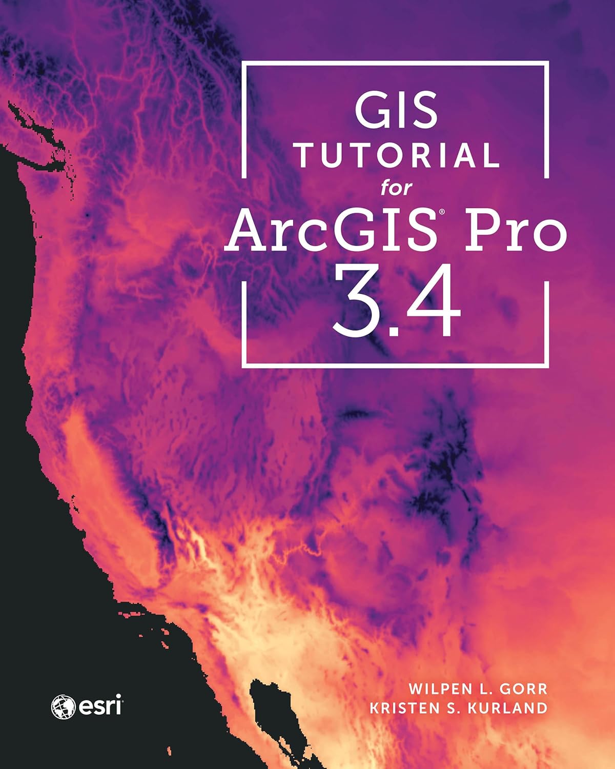
GIS Tutorial for ArcGIS Pro 3.4 (Esri Press)
by Wilpen L. Gorr, Kristen S. Kurland
A classroom-tested ArcGIS Pro workbook by two Carnegie Mellon instructors, with hands-on exercises and homework assignments that build real problem-solving skills. Written for both university courses and self-learners who want a rigorous primer.
Pros:
- Academic rigor — used in real university curricula
- Exercises reinforce each concept
- Instructor resources available for teachers
Cons:
- Denser and more demanding than casual guides
- Best paired with an instructor or study group
Learning Geospatial Analysis with Python (3rd Edition)
by Joel Lawhead
A systematic guide to GIS and remote sensing analysis with Python, covering geodatabases, raster data, PostGIS, QGIS integration and workflow automation. Readers build real analytical skills, from thematic mapping to flood modeling.
Pros:
- Bridges GIS and Python — the highest-demand skill combo
- Practical projects, not just theory
- Covers the open-source stack (GeoPandas-style workflows, PostGIS, QGIS)
Cons:
- Requires basic Python knowledge first
- Some library versions have moved on since publication