- GIS Software

ERDAS IMAGINE 2022 Free Download [Latest]
ERDAS IMAGINE 2022 is one of the most advanced remote sensing and GIS software tools available today. Developed by Hexagon…
- Home
Unlocking Property Insights with Parcel Viewer
Parcel Viewer introduction Parcel Viewer is an innovative online tool that allows users to explore and analyze detailed information about…
- GIS Software
Latest I-GIS GeoScene3D Free Download
I-GIS GeoScene3D Free Download Discover the power of 3D geological modeling and subsurface data visualization with I-GIS GeoScene3D. This free…
- GIS Software
Download and install Esri ArcGIS 10.5 on your Windows
ArcGIS 10.5: A Comprehensive Guide for Beginners and Professionals Are you a beginner or professional looking to learn more about…
- GIS
Advanced Remote Sensing Techniques for GIS Professionals
Introduction to Remote Sensing in GIS Remote sensing and Geographic Information Systems (GIS) have revolutionized the way we study, understand,…
- GIS Software
ArcGIS 10.3 Free Download | Download and install ArcGis 10.3 Free
ArcGIS 10.3 Free Download ArcGIS 10.3 is a powerful geographic information system (GIS) developed by Esri that allows users to…
- Gis Analysis
Data Plotly in QGIS to create interactive graphics
Data Plotly in QGIS to create interactive graphics This article focuses on showing how it works Data Plotly in QGIS, an excellent plugin that allows…
- Home
ArcGIS 10.4.1 Free Download 64x
How to Download and Install ArcGIS 10.4.1 ArcGIS is a geographic information system software developed by Esri, a world-renowned provider…
- GIS
How AI Enhances GIS: Smarter Geospatial Analysis
AI in GIS Understanding the Intersection of AI and GIS In today’s rapidly advancing technological landscape, the fusion of Artificial…
- Free GIS Book
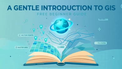
A Gentle Introduction to GIS [Free]
Looking for A Gentle Introduction to GIS — the official free beginner’s guide from the QGIS documentation project? You found…
- GIS Software
GeoServer Free Download: Publish Maps Online [Latest]
This GeoServer free download guide takes you from a blank computer to your first live web map. GeoServer is the…
- GIS Software
QField 4.3.6 Free Download [Latest]
This QField 4.3.6 free download guide covers the newest patch release of QField — the free, open-source mobile GIS app…
- GIS Software
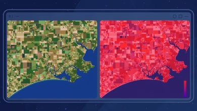
ESA SNAP Download: Free Sentinel-2 Image Processing
This ESA SNAP download guide takes you from zero to your first processed satellite image. SNAP (Sentinel Application Platform) is…
- Gis Analysis
what is the future of GIS and the geospatial sector according to OpenAI
Future of GIS in this Article cartogeek.com provide you As an experiment, we have tested the functionality offered by the…
- Home
The Future of Remote Sensing: Innovations and Implications
Remote Sensing: Exploring the World from Afar Introduction Remote sensing is a revolutionary technology that has transformed our understanding and…
- GIS Software
GRASS GIS Tutorial: Beginner Guide to Your First Map
This GRASS GIS tutorial takes you from zero to your first real analysis. GRASS GIS (Geographic Resources Analysis Support System)…
- Free GIS Book
Free Download Python for ArcGIS Pro PDF Book
Python for ArcGIS Pro PDF Book In today’s expeditiously evolving world of Geographic Information Systems (GIS), mastering Python programming is…
- GIS Software
20 Best GIS Software Applications with Download link
20 Essential GIS Tools Every Geospatial Professional Should Know Introduction In today’s technologically advanced world, Geographic Information System (GIS) tools…
- GIS Software
ESRI ArcGIS Pro 3.1.5 Free Download [Latest]
ArcGIS Pro 3.1.5 is Esri’s professional desktop GIS — the current-generation replacement for ArcMap. It handles 2D and 3D mapping,…
- GIS Software
GDAL 3.13.3 Free Download [Latest]
This GDAL 3.13.3 free download guide gets you the current release of the world’s most important geospatial library — completely…