Want to know how to become a GIS analyst? You are looking at one of the most practical tech careers in the United States. GIS analysts turn location data into maps, models, and decisions that cities, utilities, and tech companies rely on every day.
This guide gives you the full roadmap. You will learn what the job really involves, which degree or certificate to pick, the exact skills employers ask for, how much you can earn, and how to land your first role — even with no experience yet.
How to Become a GIS Analyst: The Complete Roadmap
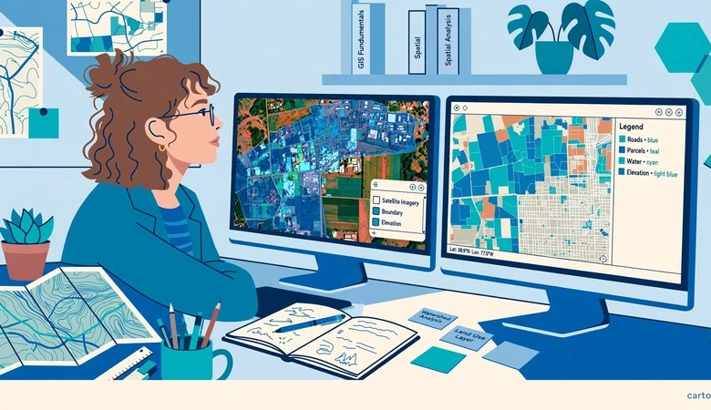
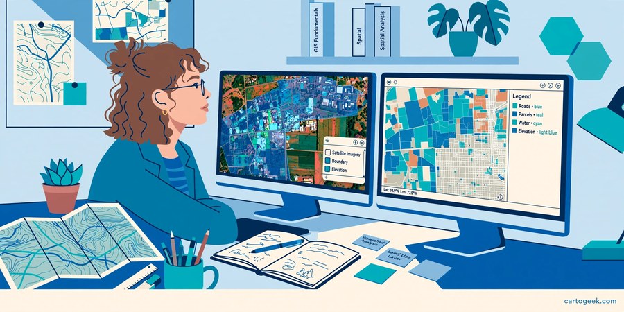
A GIS analyst works with geographic data. You collect it, clean it, analyze it, and present it as maps and dashboards. The work sits between geography, data, and software. Most analysts spend their days in ArcGIS Pro or QGIS, with Python and SQL close behind.
The good news: you do not need a decade of study to start. Most working analysts followed the same five steps below. You can move through them in 6 to 12 months of focused work, or alongside a degree.
1. What does a GIS analyst actually do?
GIS analysts answer location questions. Where should a new store open? Which neighborhoods flood first? Where is the fastest route for a delivery fleet? You build the maps and analysis that answer those questions.
Typical tasks include cleaning spatial datasets, running buffer and overlay analysis, building geodatabases, and designing clear maps for non-technical managers. You also present findings, so communication matters as much as software skill.
Employers range from city planning departments and county governments to utilities, engineering firms, environmental consultancies, and tech companies. Government and utility roles offer stability. Tech and consulting roles often pay more and move faster.
2. Step 1: earn a degree or a certificate
A bachelor’s degree is the most common entry route. Geography, geographic information science, environmental science, urban planning, engineering, or computer science all work. Employers hire from all of these fields, not just geography.
If you already hold a degree in another subject, a graduate GIS certificate is the faster route. The University of Massachusetts, the University of Wisconsin-Milwaukee, and California State University San Marcos run well-known programs. Many run fully online.
A master’s degree is optional. It helps for senior and research roles, but it is not required for your first analyst job. A degree plus a strong portfolio beats a degree alone every time. See our GIS certification guide to compare the credentials US employers actually recognize.
3. Step 2: learn the tools employers ask for
Job listings in the United States ask for the same core stack again and again. Learn these five, in this order.
| Tool | What it does | How to learn it free |
|---|---|---|
| ArcGIS Pro | The industry-standard desktop GIS | Free student license via your university — see our ArcGIS student license guide |
| QGIS | Free open-source desktop GIS | Our QGIS beginner tutorial walks you through your first project |
| Python | Automation, geoprocessing, ArcPy | Our Python for GIS roadmap lists the free learning path |
| SQL and PostGIS | Spatial databases and queries | PostgreSQL and PostGIS are free and open source |
| ArcGIS Online | Web maps and dashboards | Free public account from Esri, plus free Learn ArcGIS lessons |
Start with QGIS if you have no license. It costs nothing and teaches the same core concepts as ArcGIS Pro. Add ArcGIS Pro through a student license or a free trial when you start applying. Employers ask for both, but they hire people who can show real projects in either one.
4. Step 3: build a portfolio that gets interviews
A portfolio matters more than a second certificate. Hiring managers want to see what you built, not what you studied. Pick a real question, find open data, and publish the answer with a short write-up of your method.
Good starter projects include a flood-risk map for your county, a site-selection analysis for a new park, or a commute-time map for your city. Use free data from the US Census Bureau, USGS, and OpenStreetMap. Host the work on GitHub so employers can see your code and your maps.
Our GIS portfolio guide shows real GitHub examples from US job seekers and the exact project types that impress hiring managers.
5. Step 4: get certified at the right time
Certification helps you pass the first resume screen. It does not replace experience or a portfolio. Get it after you have the core skills, not before.
Esri ArcGIS Pro Foundation suits candidates with under two years of experience. It is the best first exam if you want Esri-based jobs. The GISP credential from the GIS Certification Institute suits analysts with four or more years of experience. ASPRS certifications suit remote sensing and LiDAR specialists.
If you are still a student, start with free preparation. Esri runs free MOOCs with certificates of completion. Our free GIS courses list rounds up the best no-cost options, including Learn ArcGIS guided lessons and NASA ARSET training.
6. Step 5: apply where the jobs are
Apply for GIS technician and junior analyst roles first. These are the real entry points. Many analysts start as technicians and move up within a year or two. Do not wait until you feel fully ready — most listings describe an ideal candidate, not a minimum.
Search USAJOBS for federal roles, state and county government portals for local roles, and Indeed and LinkedIn for private-sector roles. Utilities and engineering firms hire steadily. Remote analyst roles now pay close to on-site roles for many US employers.
Tailor each application. Mirror the job post’s tool names in your resume. Link your GitHub portfolio in the application. One strong project often wins the interview over a longer list of courses.
GIS analyst salary in the USA: what to expect
Pay varies by city, employer, and experience. Treat every figure as a range, not a promise. Our GIS salary guide breaks down every role in detail, but here is the short version.
| Role | Typical US range |
|---|---|
| GIS Technician (entry level) | $43,000 – $58,000 |
| GIS Analyst | $50,000 – $80,000 |
| GIS Specialist | $50,000 – $85,000 |
| GIS Developer | $60,000 – $95,000+ |
| GIS Manager | $80,000 – $120,000 |
The official benchmark helps too. The US Bureau of Labor Statistics reports a median annual wage of $81,390 in May 2025 for cartographers and photogrammetrists. The same outlook projects employment growth of 7 percent from 2025 to 2035, much faster than average. About 900 openings per year are projected.
Python is the single biggest salary lever. Analysts who automate with Python move toward developer pay. SQL, PostGIS, and remote sensing skills lift pay as well. California, Washington, and the District of Columbia pay near the top, while Texas and Colorado employ large numbers of GIS workers.
Start Learning GIS Free — Download QGIS
How to Become a GIS Analyst FAQs
How long does it take to become a GIS analyst?
With consistent study, most students become job-ready in 6 to 12 months. A degree takes longer, but you can build skills and a portfolio alongside it. Focused learners with a prior degree can move faster using free courses and a student ArcGIS license.
Do I need a degree to become a GIS analyst?
Most employers prefer a bachelor’s degree, but it does not have to be in geography. Environmental science, planning, engineering, and computer science all work. A strong portfolio plus a certificate can open doors for career changers who already hold a degree.
Is GIS a good career in the USA?
Yes. The US Bureau of Labor Statistics projects 7 percent employment growth from 2025 to 2035 for cartographers and photogrammetrists, much faster than average. Demand spans government, utilities, energy, tech, and environmental consulting, and remote roles are growing.
Should I learn ArcGIS Pro or QGIS first?
Learn QGIS first if you have no license — it is free and teaches the same core concepts. Learn ArcGIS Pro too, because most large US employers run Esri software. Our QGIS vs ArcGIS Pro comparison explains which employers ask for which tool.
How much does a GIS analyst make in the USA?
Entry-level analysts typically earn $50,000 to $65,000. Mid-level analysts commonly earn $60,000 to $80,000. Senior analysts and developers pass $80,000 when they add Python, remote sensing, or database skills. See our full US salary breakdown for state-by-state detail.
Can I become a GIS analyst without coding?
Yes, for your first job. Many analyst roles are mostly desktop GIS work. But Python is the skill that raises pay fastest and opens developer roles, so start learning it once you are comfortable with QGIS or ArcGIS Pro.
Becoming a GIS analyst is a clear, learnable path. Earn a degree or certificate, master QGIS and ArcGIS Pro, add Python and SQL, build a portfolio with real projects, and certify at the right time. The demand is real, the tools are free to start with, and the first job is closer than most students think. Start with one small project this week — your future hiring manager will want to see it.
Related posts: GIS Certifications That Get You Hired | GIS Salaries in the USA | How to Build a GIS Portfolio | ArcGIS Student License Free
Disclosure: Some links on this page are affiliate links. If you buy a book through them, CartoGeek may earn a small commission at no extra cost to you. This helps keep our GIS guides free for students. Thank you for your support!
Recommended ArcGIS Pro Books
Getting to Know ArcGIS Pro 3.6 (Esri Press)
by Michael Law, Amy Collins
Esri Press’s best-selling step-by-step workbook for learning ArcGIS Pro, with hundreds of full-color images, real-world case studies and progressive exercises. The long-running “Getting to Know” series has taught GIS to students and professionals for over 20 years.
Pros:
- Official Esri Press material — matches the software exactly
- 300+ full-color screenshots make every step visual
- Works as both textbook and desk reference
Cons:
- Tied to specific ArcGIS Pro versions, so buy the newest edition
- Assumes access to ArcGIS Pro (trial or license)
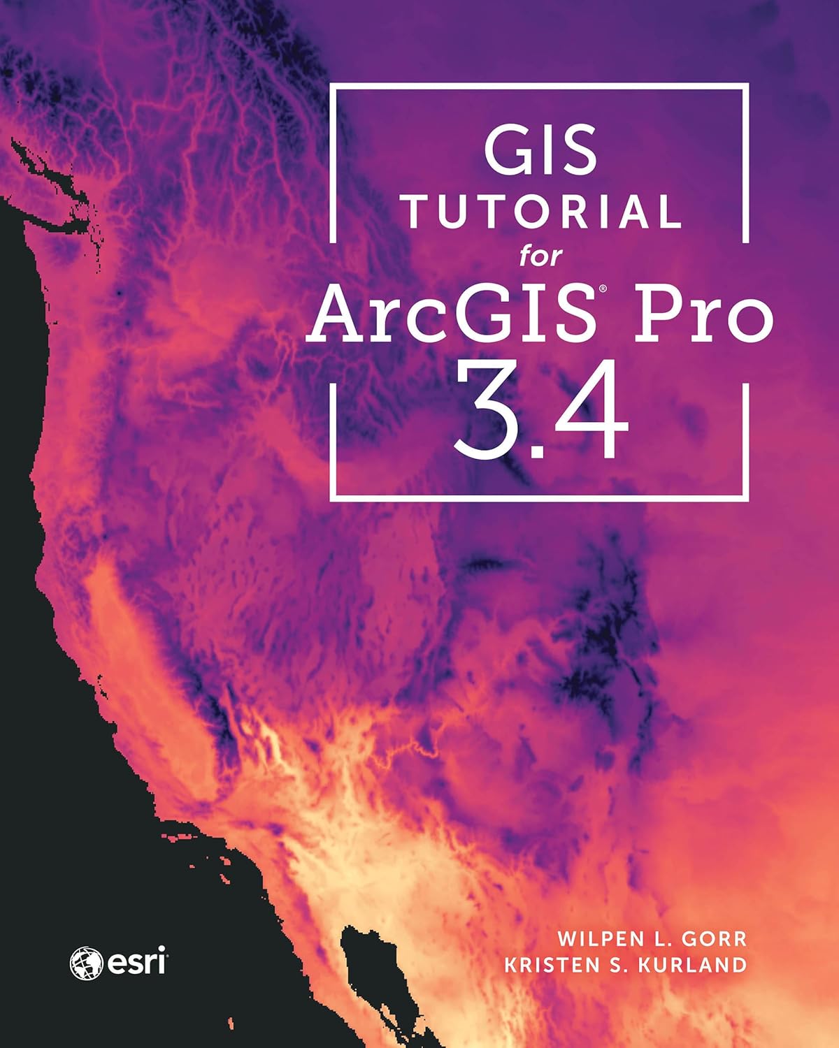
GIS Tutorial for ArcGIS Pro 3.4 (Esri Press)
by Wilpen L. Gorr, Kristen S. Kurland
A classroom-tested ArcGIS Pro workbook by two Carnegie Mellon instructors, with hands-on exercises and homework assignments that build real problem-solving skills. Written for both university courses and self-learners who want a rigorous primer.
Pros:
- Academic rigor — used in real university curricula
- Exercises reinforce each concept
- Instructor resources available for teachers
Cons:
- Denser and more demanding than casual guides
- Best paired with an instructor or study group

Python Scripting for ArcGIS Pro, 3rd Edition (Esri Press)
by Paul A. Zandbergen
Esri Press’s focused guide to automating ArcGIS Pro with Python and arcpy — from first scripts to geoprocessing tools. Short and practical, it targets GIS users who want to stop repeating manual workflows.
Pros:
- Official Esri Press — arcpy examples match the software
- Short, focused, no filler
- Immediately applicable automation skills
Cons:
- Requires basic Python before starting
- Narrow focus — ArcGIS Pro only