Looking for Essentials of Geographic Information Systems free? This is the official open textbook by Jonathan Campbell and Michael Shin. It is free to read online and free to download as a PDF. No sign-up, no paywall, and no pirate mirror needed.
First published by the Saylor Foundation, the book is built for introductory GIS courses. It explains GIS ideas in plain language, with real-world examples. Students, teachers, and self-learners use it around the world.
Essentials of Geographic Information Systems: What’s Inside the Free Book
Essentials of Geographic Information Systems covers the full arc of learning GIS. It starts with spatial thinking and ends with managing a real GIS project. Every chapter is short, focused, and written for nonspecialists.
Jonathan E. Campbell is a GIS analyst and biologist. He taught GIS and physical geography at UCLA and Santa Monica College. He holds a PhD in geography from UCLA.
Michael Shin is an associate professor of geography at UCLA. He directs UCLA’s professional certificate program in Geospatial Information Systems and Technology. He teaches introductory, intermediate, and advanced GIS.
The book was published by the Saylor Foundation (Saylor Academy). Its ISBN is 9781453321966. It is shared under a CC BY-NC-SA 3.0 license. That means you can read, print, and share it for non-commercial use, with credit to the authors.
Inside the book: all 10 chapters
The book has 10 chapters, plus a glossary and an index. Here is the full path:
- Chapter 1: Introduction — spatial thinking, geographic concepts, and what GIS is for today
- Chapter 2: Map Anatomy — map types, map scale, coordinate systems, and map projections
- Chapter 3: Data, Information, and Where to Find Them — data vs. information, metadata, and finding data
- Chapter 4: Data Models for GIS — raster data, vector data, satellite imagery, and aerial photography
- Chapter 5: Geospatial Data Management — data acquisition, databases, file formats, and data quality
- Chapter 6: Data Characteristics and Visualization — summaries, queries, and data classification
- Chapter 7: Geospatial Analysis I — Vector Operations — single-layer and multiple-layer analysis
- Chapter 8: Geospatial Analysis II — Raster Data — raster geoprocessing, interpolation, and terrain mapping
- Chapter 9: Cartographic Principles — color, symbology, and cartographic design
- Chapter 10: GIS Project Management — project basics, tools, and techniques
Chapters 7 and 8 are the heart of the book for most learners. They teach the analysis skills that GIS jobs actually test. Chapter 9 is the best short introduction to map design we have seen in a free book.
How to get it free (official sources only)
Every link below is an official, legal, free source. The book is free at the time of publishing — check each source page for the latest edition.
- LibreTexts (read online + free PDF): the current open-education edition, compiled August 2026 — download the free PDF from LibreTexts
- Open Textbook Library: the book’s catalog page with PDF and online formats — Essentials of Geographic Information Systems on the Open Textbook Library
- BCcampus Open Textbook Collection: another official open-textbook listing — Geographic Information System Basics on BCcampus
One honest note: Saylor Academy’s original PDF link no longer works. That is why this post links to LibreTexts and the Open Textbook Library instead. Both host the same book, free and legal.
Who should read this book
This book fits three groups best. First, university students taking their first GIS course. Second, self-learners who want the concepts before touching software. Third, teachers looking for a free textbook to assign.
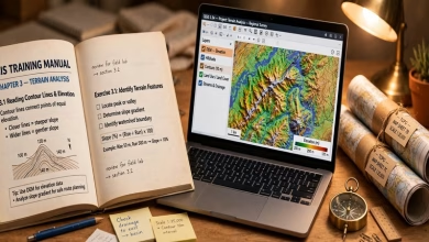
If you already work in GIS, use it as a refresher. The chapters on data models and raster analysis still hold up. For hands-on software practice, pair it with the QGIS Training Manual and our free GIS software guide.
How to study with it (a simple plan)
Read one chapter per study session. After Chapter 4, open QGIS and load a raster and a vector layer. After Chapter 7, try a buffer and an overlay in QGIS. After Chapter 9, design one clean map and export it.
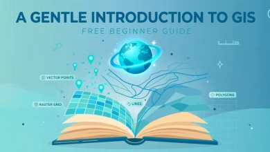
Want more free reading? Our free GIS books roundup lists six official free books, including this one. A Gentle Introduction to GIS is a shorter companion read. The LearnOSM tutorial teaches OpenStreetMap mapping for free.
Download Essentials of GIS — Free PDF
Frequently Asked Questions
Is Essentials of Geographic Information Systems really free?
Yes. It is an open textbook under a CC BY-NC-SA 3.0 license. You can read it online and download the PDF free from LibreTexts and the Open Textbook Library. No account or payment is needed.
Where can I download the PDF?
Use the button above or the LibreTexts link in this post. The PDF is the full book, including all 10 chapters, the glossary, and the index.
Who wrote Essentials of Geographic Information Systems?
Jonathan E. Campbell and Michael Shin, both of UCLA. Campbell is a GIS analyst and biologist. Shin is an associate professor of geography and directs UCLA’s GIS certificate program.
Is this book good for GIS beginners?
Yes. It was written for introductory GIS courses and for nonspecialists. It explains ideas first and keeps the language plain. No prior GIS knowledge is needed.
Can I use this book with QGIS?
Yes. The concepts apply to any GIS software. Pair the chapters with hands-on practice in QGIS. Our QGIS Training Manual guide shows where to start.
Is there a newer edition?
The original text is from 2011, but the LibreTexts edition was compiled in August 2026. The core concepts — data models, projections, analysis, cartography — have not changed. For current software steps, use the QGIS documentation alongside it.
Essentials of Geographic Information Systems is one of the best free GIS textbooks ever published. It is short, clear, and written by two UCLA geographers who actually teach the subject. Download the free PDF, work through one chapter at a time, and practice each idea in QGIS. That combination — a solid book plus free software — is the fastest free path into GIS.
Related posts: Free GIS Books | QGIS Training Manual Free Download | A Gentle Introduction to GIS Free Download | Free Udemy GIS Courses
Disclosure: Some links on this page are affiliate links. If you buy a book through them, CartoGeek may earn a small commission at no extra cost to you. This helps keep our GIS guides free for students. Thank you for your support!
Recommended GIS Learning Books
Learn QGIS: Techniques for Efficient Spatial Analysis (5th Edition)
by Eugenia Sarafova, Ivan Ivanov, Andrew Cutts, Anita Graser
The most current beginner-to-intermediate QGIS book, covering spatial analysis, cartography, field data collection and earth observation workflows with real-world examples. Written with input from Anita Graser, a well-known QGIS community figure, it walks readers from first install to confident analysis.
Pros:
- Up to date with recent QGIS versions
- Hands-on, exercise-driven teaching style
- Covers modern topics like GenAI tools and mobile data collection
Cons:
- Moves fast for absolute beginners with zero GIS background
- Some advanced chapters assume basic statistics knowledge
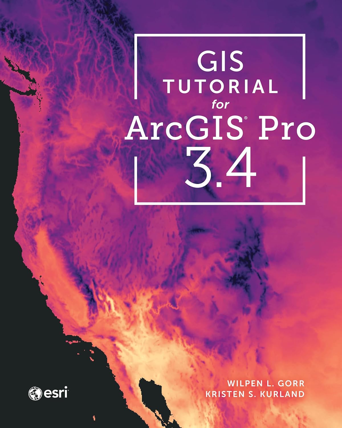
GIS Tutorial for ArcGIS Pro 3.4 (Esri Press)
by Wilpen L. Gorr, Kristen S. Kurland
A classroom-tested ArcGIS Pro workbook by two Carnegie Mellon instructors, with hands-on exercises and homework assignments that build real problem-solving skills. Written for both university courses and self-learners who want a rigorous primer.
Pros:
- Academic rigor — used in real university curricula
- Exercises reinforce each concept
- Instructor resources available for teachers
Cons:
- Denser and more demanding than casual guides
- Best paired with an instructor or study group
Learning Geospatial Analysis with Python (3rd Edition)
by Joel Lawhead
A systematic guide to GIS and remote sensing analysis with Python, covering geodatabases, raster data, PostGIS, QGIS integration and workflow automation. Readers build real analytical skills, from thematic mapping to flood modeling.
Pros:
- Bridges GIS and Python — the highest-demand skill combo
- Practical projects, not just theory
- Covers the open-source stack (GeoPandas-style workflows, PostGIS, QGIS)
Cons:
- Requires basic Python knowledge first
- Some library versions have moved on since publication