
Searching for a GIS certification for jobs? The right credential can move your resume to the top of the pile. It proves you can do real GIS work, not just pass a class.
This guide compares the certifications US employers actually recognize. You will learn what each one costs in time, who it suits, and which one to pick first. No filler, just the facts that help you get hired.

GIS Certification for Jobs: Which Credential Gets You Hired?
Employers do not all want the same credential. A city planning office, a utility company, and a remote sensing startup look for different proof. Match the certificate to the job you want. That is the fastest route to a hire.
1. GISP: the vendor-neutral professional credential
The GISP, awarded by the GIS Certification Institute (GISCI), is the best-known general GIS credential in the United States. It is vendor-neutral, so it proves broad GIS knowledge rather than skill in one software package.
To earn it, you need at least four years of full-time geospatial work experience. You also build a portfolio worth 150 points across education, experience, and contributions to the profession. The minimums are 30 education points, 60 experience points, and 8 contribution points. Finally, you pass the GISCI Geospatial Core Technical Knowledge Exam. You have up to six years to complete the portfolio and exam requirements.
An entry-level GISP-E path exists for early-career professionals. It lets you start the process before you have four full years of experience. Check the official GISCI portfolio page for current fees and point rules before you apply.
2. Esri Technical Certification: the employer favorite
Most large US employers run Esri software. That is why Esri Technical Certification carries so much weight in job listings. It comes in three levels for ArcGIS Pro.
ArcGIS Pro Foundation suits candidates with under two years of applied experience. ArcGIS Pro Associate suits those with two to four years of experience. ArcGIS Pro Professional suits practitioners with four or more years of deep platform experience. There are also specialist exams, including ArcGIS Enterprise Administration and ArcGIS Developer.
If you are a student, start with free preparation. Our ArcGIS student license guide shows how US students get ArcGIS Pro free through their university. Then practice with the free lessons in our Learn ArcGIS guide and the ArcGIS Pro download guide.
3. University GIS certificates: the degree-plus option
Many US universities offer graduate GIS certificates. The University of Massachusetts, the University of Wisconsin-Milwaukee, and California State University San Marcos are among the well-known programs. These certificates suit students who want formal coursework plus a university name on their resume.
They pair well with a degree in geography, environmental science, planning, or engineering. They also suit career changers who already hold a degree in another field. Check each university page for length, cost, and whether it runs fully online.
4. ASPRS certifications: for remote sensing specialists
The American Society for Photogrammetry and Remote Sensing (ASPRS) certifies specialists in photogrammetry, remote sensing, LiDAR, and drone mapping. It offers a Technologist tier for those with around three years of experience. It also offers a Mapping Scientist tier for those with around six years.
Choose ASPRS if you want remote sensing, imagery, or LiDAR jobs. For general GIS analyst jobs, GISP or Esri certification is usually the better first pick.
5. Free and low-cost preparation paths
You do not need to pay for training before you pay for an exam. Esri runs free massive open online courses (MOOCs) with certificates of completion. Learn ArcGIS offers free guided lessons built by Esri trainers. For open-source skills, our QGIS beginner tutorial and QGIS Training Manual are free.
Build a portfolio as you learn. Employers value a GitHub project page more than a second certificate. Map a real dataset, write up your method, and publish the result. That project often wins the interview.
Which GIS certification should you pick first?
Use this simple decision table. It matches your career stage to the credential that pays off fastest.
| Your situation | Pick this first | Why it works |
|---|---|---|
| GIS student or recent graduate | Esri ArcGIS Pro Foundation or Associate | Proves the software skill most job posts ask for |
| Working GIS analyst, 2-4 years in | Esri ArcGIS Pro Professional | Signals advanced analysis and workflow skill |
| Government, utility, or senior analyst roles | GISP | Vendor-neutral proof of broad professional competence |
| Remote sensing, imagery, or LiDAR jobs | ASPRS certification | Specialist proof in a niche employers pay for |
| GIS developer or automation roles | Esri Developer exam plus Python skills | Combines platform skill with coding ability |
GIS salaries in the USA: what certification can add
Salary data varies by city, employer, and experience, so treat every figure as a range, not a promise. US job-board data cited in our research puts GIS analyst roles around $74,000 and GIS specialist roles around $76,000. Degree-salary guides put entry-level GIS degree holders near $55,000, mid-career professionals near $80,000, and senior roles near $105,000.
Certification alone does not set your salary. Experience, Python skills, and remote sensing ability move pay faster. Certification helps most when it gets you past the first resume screen. After that, your portfolio and interview do the talking.
Start with the GISP Certification (Official Site)
GIS Certification for Jobs FAQs
Do I need a GIS certification to get a GIS job?
No, but it helps. Many entry-level jobs ask for a degree and software skills first. A certificate moves you ahead of equal candidates and proves your skills to hiring managers.
Which GIS certification is best for beginners?
Esri ArcGIS Pro Foundation is the best beginner pick if you want Esri-based jobs. If you use open-source tools, build a QGIS portfolio first and add an Esri exam later. See our ArcGIS Pro vs QGIS comparison to choose your platform.
How long does it take to earn the GISP?
You need four years of full-time geospatial experience, plus a portfolio and an exam. You have up to six years to finish the requirements once you start. Early-career professionals can begin with the GISP-E path.
Is Esri certification worth it for US jobs?
Yes, for most US analyst jobs. Government agencies, utilities, and large firms run Esri software. An Esri certificate proves you can work in their stack from day one.
Can US students get certified for free or cheap?
Exam fees are not free, so check the official site for current prices. Preparation can be free: Esri MOOCs, Learn ArcGIS lessons, and our free GIS books roundup and free GIS data sites cover most exam topics at no cost.
Does a GIS certification raise your salary?
It can, mainly by unlocking higher-level roles. The biggest pay gains come from pairing a certificate with Python, remote sensing, or enterprise GIS experience. Certification opens the door; skills set the salary.
Related posts: ArcGIS Student License Free · Learn ArcGIS Free Guided Lessons · QGIS Tutorial for Beginners · ArcGIS Pro vs QGIS: 50 Differences
That is the complete guide to GIS certification for jobs. If you are a student, start with Esri Foundation and a portfolio project. If you are mid-career, aim for Esri Professional or the GISP. Pick one credential, prepare with free resources, and let the certificate prove what your work already shows.
Disclosure: Some links on this page are affiliate links. If you buy a book through them, CartoGeek may earn a small commission at no extra cost to you. This helps keep our GIS guides free for students. Thank you for your support!
Recommended ArcGIS Pro Books
Getting to Know ArcGIS Pro 3.6 (Esri Press)
by Michael Law, Amy Collins
Esri Press’s best-selling step-by-step workbook for learning ArcGIS Pro, with hundreds of full-color images, real-world case studies and progressive exercises. The long-running “Getting to Know” series has taught GIS to students and professionals for over 20 years.
Pros:
- Official Esri Press material — matches the software exactly
- 300+ full-color screenshots make every step visual
- Works as both textbook and desk reference
Cons:
- Tied to specific ArcGIS Pro versions, so buy the newest edition
- Assumes access to ArcGIS Pro (trial or license)
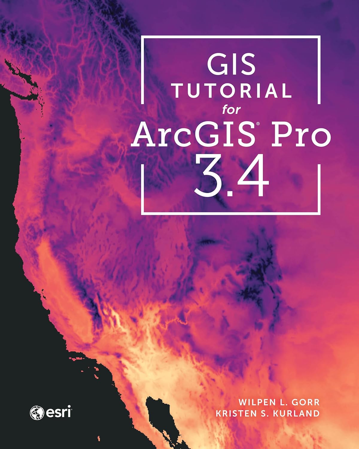
GIS Tutorial for ArcGIS Pro 3.4 (Esri Press)
by Wilpen L. Gorr, Kristen S. Kurland
A classroom-tested ArcGIS Pro workbook by two Carnegie Mellon instructors, with hands-on exercises and homework assignments that build real problem-solving skills. Written for both university courses and self-learners who want a rigorous primer.
Pros:
- Academic rigor — used in real university curricula
- Exercises reinforce each concept
- Instructor resources available for teachers
Cons:
- Denser and more demanding than casual guides
- Best paired with an instructor or study group

Python Scripting for ArcGIS Pro, 3rd Edition (Esri Press)
by Paul A. Zandbergen
Esri Press’s focused guide to automating ArcGIS Pro with Python and arcpy — from first scripts to geoprocessing tools. Short and practical, it targets GIS users who want to stop repeating manual workflows.
Pros:
- Official Esri Press — arcpy examples match the software
- Short, focused, no filler
- Immediately applicable automation skills
Cons:
- Requires basic Python before starting
- Narrow focus — ArcGIS Pro only