
Looking for free GIS books that are actually legal to download? You are in the right place. This list collects six free GIS books from official sources only — the authors’ own websites, open-textbook libraries, and the official QGIS documentation. Every link below was verified live, so you will not land on dead pages or pirated PDF uploads.
All six books are free and legally available from official sources as of Oct 18, 2026 — check each site for the latest edition.

6 Free GIS Books From Official Sources
Unlike most “free GIS books” lists, this one links nothing to shady PDF mirrors. Each book is offered free by its author, publisher, or an open-textbook library, with an open license or free-distribution terms. Start with the beginner titles, then move to the hands-on manuals when you are ready.
1. GIS Commons — free introductory GIS textbook
GIS Commons: An Introductory Textbook on Geographic Information Systems is written by Michael Schmandt of Sacramento State. It is a free, web-based, open-source e-text with six chapters: introduction, data input, the earth and map preprocessing, attribute tables, analysis, and output. It is the best first book on this list for a true GIS beginner. Read it free on the official site: giscommons.org.
2. QGIS Training Manual — learn QGIS with real exercises
The official QGIS Training Manual lives inside the QGIS documentation. It walks you through 20 modules — creating maps, vector analysis, rasters, plugins, GRASS GIS tools, PostGIS databases, and a full forestry application. Exercise data is included for download. Pair it with a free QGIS download and our QGIS beginner tutorial for a complete hands-on setup. Official link: docs.qgis.org — QGIS Training Manual.
3. Geocomputation with Python — free spatial analysis with Python
Geocomputation with Python by Dorman, Graser, Nowosad and Lovelace teaches reproducible geographic data analysis with open-source Python tools. The full text is free on the book’s official website, and the published edition is with CRC Press (2025). A great pick once you are comfortable with the Python packages for QGIS. Official link: py.geocompx.org.
4. Geocomputation with R (2nd edition) — free spatial analysis with R
The second edition of Geocomputation with R by Lovelace, Nowosad and Muenchow is free to read online under a Creative Commons license. It covers geographic data analysis, visualization, and modeling with R. If you like this one, also see our Free R books for GIS roundup. Official link: r.geocompx.org.
5. An Introduction to Geospatial Thinking and Open Source GIS — free beginner webbook
Jennifer Moore’s open textbook from WashU Libraries is a beginners guide to geospatial concepts and tools, with scaffolded exercises built on QGIS and open datasets. Licensed CC BY-NC-SA 4.0, published October 2025. Official link: wustl.pressbooks.pub — Geospatial Thinking.
6. Essentials of Geographic Information Systems — free classic GIS textbook
Essentials of Geographic Information Systems (Saylor Foundation) is a concise, pragmatic GIS textbook written for nonspecialists. The original publisher page is gone, but a legitimate library copy is archived on the Internet Archive with free reading and borrowing. Official-archive link: Internet Archive — Essentials of Geographic Information Systems.
Start Reading GIS Commons — Free
Free GIS Books FAQs
Are these GIS books really free?
Yes. Each book on this list is offered free by its author, publisher, or an open-textbook library. You pay nothing and need no account to read them.
Is it legal to download these books?
Yes. Every link points to the official or author-approved source, published with an open license or free-distribution terms. There are no pirated uploads on this page.
Which free GIS book should a beginner start with?
Start with GIS Commons for the concepts, then the QGIS Training Manual for hands-on practice. Both assume no prior GIS knowledge.
Do these books work with free GIS software?
Yes. The QGIS Training Manual, Geospatial Thinking, and both Geocomputation books are built around free open-source tools — QGIS, Python, and R.
Can I read these books on my phone?
Yes. All six are web-based or offer PDF/EPUB downloads that read fine on phones, tablets, and e-readers.
Were these links checked?
Every link was verified live on Oct 18, 2026. If a page ever moves, search the book title to find its new home.
Related posts: Free R Books for GIS and Spatial Data Analysis · QGIS Tutorial for Beginners · Free GIS Software: 12 Tools for Students · QGIS 4.2 Free Download
That is the full list: six free GIS books, every one from an official source, and every link checked. Start with the beginner titles, move to the QGIS manual for practice, and tackle the geocomputation books when you are ready for spatial analysis. Bookmark this page — new official free GIS books will be added as they appear.
Disclosure: Some links on this page are affiliate links. If you buy a book through them, CartoGeek may earn a small commission at no extra cost to you. This helps keep our GIS guides free for students. Thank you for your support!
Recommended GIS Learning Books
Learn QGIS: Techniques for Efficient Spatial Analysis (5th Edition)
by Eugenia Sarafova, Ivan Ivanov, Andrew Cutts, Anita Graser
The most current beginner-to-intermediate QGIS book, covering spatial analysis, cartography, field data collection and earth observation workflows with real-world examples. Written with input from Anita Graser, a well-known QGIS community figure, it walks readers from first install to confident analysis.
Pros:
- Up to date with recent QGIS versions
- Hands-on, exercise-driven teaching style
- Covers modern topics like GenAI tools and mobile data collection
Cons:
- Moves fast for absolute beginners with zero GIS background
- Some advanced chapters assume basic statistics knowledge
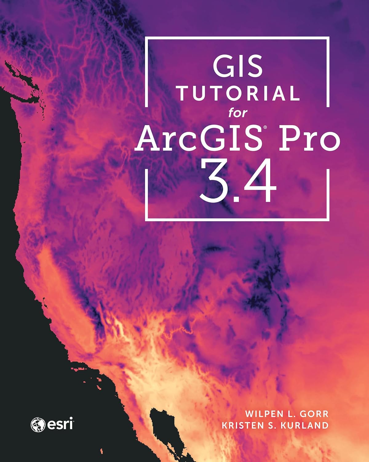
GIS Tutorial for ArcGIS Pro 3.4 (Esri Press)
by Wilpen L. Gorr, Kristen S. Kurland
A classroom-tested ArcGIS Pro workbook by two Carnegie Mellon instructors, with hands-on exercises and homework assignments that build real problem-solving skills. Written for both university courses and self-learners who want a rigorous primer.
Pros:
- Academic rigor — used in real university curricula
- Exercises reinforce each concept
- Instructor resources available for teachers
Cons:
- Denser and more demanding than casual guides
- Best paired with an instructor or study group
Learning Geospatial Analysis with Python (3rd Edition)
by Joel Lawhead
A systematic guide to GIS and remote sensing analysis with Python, covering geodatabases, raster data, PostGIS, QGIS integration and workflow automation. Readers build real analytical skills, from thematic mapping to flood modeling.
Pros:
- Bridges GIS and Python — the highest-demand skill combo
- Practical projects, not just theory
- Covers the open-source stack (GeoPandas-style workflows, PostGIS, QGIS)
Cons:
- Requires basic Python knowledge first
- Some library versions have moved on since publication