This OpenStreetMap Wikidata dataset free download guide covers one of the biggest open geospatial releases of the year: Wikimedia Enterprise’s linked dataset connecting 17 million OpenStreetMap elements to Wikidata, Wikipedia, and Wikivoyage. Released on October 13, 2026, it ships as six ready-to-query Parquet and GeoParquet files — completely free on Hugging Face and Kaggle, no sign-in required. Below you will find exactly what each file contains, the licenses, how to download the ~59 GB dataset, how to query it with DuckDB in seconds, and answers to common questions.
OpenStreetMap Wikidata Dataset: What’s Inside
OpenStreetMap and the Wikimedia projects describe the same world in two different languages. OSM knows the geometry — every road, building, and trail. Wikipedia and Wikidata know the story — the history, the opening hours, the people behind the place names. Both already point at each other through tags, but joining them at scale used to need serious GIS plumbing. This dataset, built by longtime OpenStreetMap contributor Michal Migurski, does that join for you.
What the dataset actually links
At its heart is a table of 24 million links connecting Wikidata items (QIDs) with OpenStreetMap element IDs, Wikipedia article page IDs, and Wikivoyage page IDs. Each row records where the link came from, so you can trace whether an OSM element named the Wikidata item in its tags, or the Wikipedia article named the item as its main entity.
The six files and their sizes
| File | Size | What’s in it |
|---|---|---|
links.parquet | 174 MB | The master link table: 24M rows connecting QIDs, OSM elements, Wikipedia and Wikivoyage pages |
openstreetmap.parquet | 36 GB | 17M geolocated OSM elements (GeoParquet) with freeform tags, bounding boxes, and geometries |
wikidata.parquet | 436 MB | 13M Wikidata items incl. labels, descriptions, and QRank popularity scores |
wikidata_locations.parquet | 957 MB | 13M explicit coordinate locations from Wikidata |
wikipedia.parquet | 22 GB | 1.5M geolocated English Wikipedia articles with lead abstracts, wikitext, and rendered HTML |
wikivoyage.parquet | 515 MB | 31,000 English Wikivoyage travel guide articles |
All snapshots reflect the state of the projects as of September 15, 2026. If you are short on disk, start with just links.parquet — at 174 MB it answers most questions on its own.
Who this dataset is for
GIS developers building base maps, routing apps, or navigation platforms get the semantic layer OSM lacks: which places matter, their history, and rich media. Semantic-knowledge developers and AI researchers get 17 million geospatial anchors for Wikidata, Wikipedia, and Wikivoyage — no custom pipeline needed. Researchers can ask questions that join space and knowledge, like the opening hours of all museums within a twenty-mile radius of a city center, or how many 17th-century churches sit near functioning cemeteries.
Licenses: what you are allowed to do
The license depends on the part you use. links.parquet, wikidata.parquet, and wikidata_locations.parquet are public domain under the CC0 waiver — do anything with them. openstreetmap.parquet is under the Open Database License (ODbL), which means crediting OpenStreetMap contributors and sharing derived databases alike. wikipedia.parquet and wikivoyage.parquet are under CC BY-SA 4.0 — free to use with attribution and share-alike. All are genuinely free, including for commercial projects.
How to download the dataset
1. Go to the Hugging Face dataset page (wikimedia / linked-openstreetmap-wikidata-wikipedia-wikivoyage) — no sign-in needed. 2. Open the “Files and versions” tab and pick the files you want. 3. Download directly in the browser, or with wget / the HF datasets library for the big GeoParquet files. 4. Prefer Kaggle? The same dataset is mirrored at wikimedia-foundation / linked-openstreetmap-wikimedia, also free. 5. Skip the huge files: links.parquet (174 MB) plus wikidata_locations.parquet (957 MB) is enough for most map-and-knowledge joins.
How to query it with DuckDB
DuckDB reads these Parquet files without importing them. After installing DuckDB, a query like this joins a place’s OSM geometry to its Wikidata knowledge:
SELECT o.osm_id, o.tags['name'], w.label, w.qrank
FROM read_parquet('openstreetmap.parquet') o
JOIN read_parquet('wikidata.parquet') w
  ON w.wikidata_id = o.tags['wikidata']
WHERE o.tags['wikidata'] IS NOT NULL
ORDER BY w.qrank DESC
LIMIT 10;
The dataset card on Hugging Face has more worked examples — including one that ranks the most notable places inside a Paris neighborhood, where the Eiffel Tower comes out on top. You can also load the files into Pandas, Polars, or Apache Spark.
Frequently asked questions
Is the OpenStreetMap Wikidata dataset really free?
Yes. It is openly licensed (CC0, ODbL, and CC BY-SA 4.0 per part) and hosted free on Hugging Face and Kaggle. There is no paid tier and no sign-in required on Hugging Face.
How big is the full download?
All six files together are about 59 GB. The master link table alone is only 174 MB, and the two Wikidata files total about 1.4 GB — start there if you don’t need geometries or full Wikipedia text.
How fresh is the data?
The snapshots reflect the state of OpenStreetMap, Wikidata, Wikipedia, and Wikivoyage as of September 15, 2026. Wikimedia Enterprise documents how to rebuild them from current snapshots if you need fresher data.
Do I need GIS software to use it?
No. The files are plain Parquet/GeoParquet — query them with DuckDB, Pandas, or Polars from Python. Open the GeoParquet geometries in QGIS when you want to visualize them.
Can I use it in commercial projects?
The CC0 and CC BY-SA parts, yes with attribution. For openstreetmap.parquet, the ODbL requires crediting OpenStreetMap contributors and sharing derived databases under the same license.
What is QRank in the wikidata.parquet file?
QRank is a global popularity score ranking how prominent each Wikidata item is. Combined with the OSM geometries, it answers “which places in this neighborhood matter most” — useful for base maps and search ranking.
This is one of those rare datasets that makes hard things easy. OpenStreetMap’s 17 million features finally carry Wikidata’s knowledge with them, pre-joined and ready for DuckDB, for free, with no pipeline to build. Whether you are training a geo-aware AI model, enriching a base map, or doing spatial research, download the link table today and start joining space with knowledge.
Related posts: Free GIS Software · 7 Free Climate Data Sources for Researchers · QGIS 4.2 Free Download
Disclosure: Some links on this page are affiliate links. If you buy a book through them, CartoGeek may earn a small commission at no extra cost to you. This helps keep our GIS guides free for students. Thank you for your support!
Recommended GIS Learning Books
Learn QGIS: Techniques for Efficient Spatial Analysis (5th Edition)
by Eugenia Sarafova, Ivan Ivanov, Andrew Cutts, Anita Graser
The most current beginner-to-intermediate QGIS book, covering spatial analysis, cartography, field data collection and earth observation workflows with real-world examples. Written with input from Anita Graser, a well-known QGIS community figure, it walks readers from first install to confident analysis.
Pros:
- Up to date with recent QGIS versions
- Hands-on, exercise-driven teaching style
- Covers modern topics like GenAI tools and mobile data collection
Cons:
- Moves fast for absolute beginners with zero GIS background
- Some advanced chapters assume basic statistics knowledge
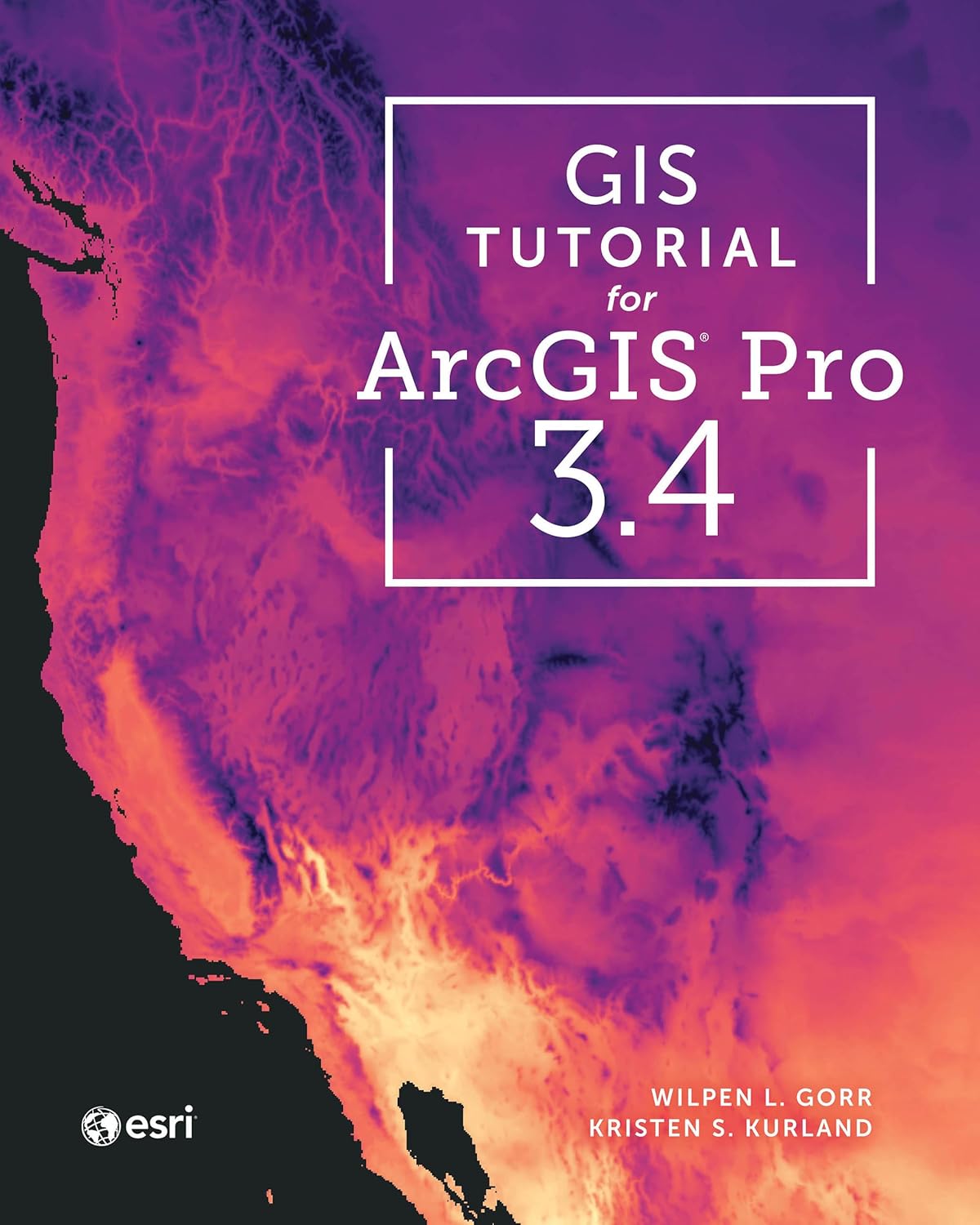
GIS Tutorial for ArcGIS Pro 3.4 (Esri Press)
by Wilpen L. Gorr, Kristen S. Kurland
A classroom-tested ArcGIS Pro workbook by two Carnegie Mellon instructors, with hands-on exercises and homework assignments that build real problem-solving skills. Written for both university courses and self-learners who want a rigorous primer.
Pros:
- Academic rigor — used in real university curricula
- Exercises reinforce each concept
- Instructor resources available for teachers
Cons:
- Denser and more demanding than casual guides
- Best paired with an instructor or study group
Learning Geospatial Analysis with Python (3rd Edition)
by Joel Lawhead
A systematic guide to GIS and remote sensing analysis with Python, covering geodatabases, raster data, PostGIS, QGIS integration and workflow automation. Readers build real analytical skills, from thematic mapping to flood modeling.
Pros:
- Bridges GIS and Python — the highest-demand skill combo
- Practical projects, not just theory
- Covers the open-source stack (GeoPandas-style workflows, PostGIS, QGIS)
Cons:
- Requires basic Python knowledge first
- Some library versions have moved on since publication