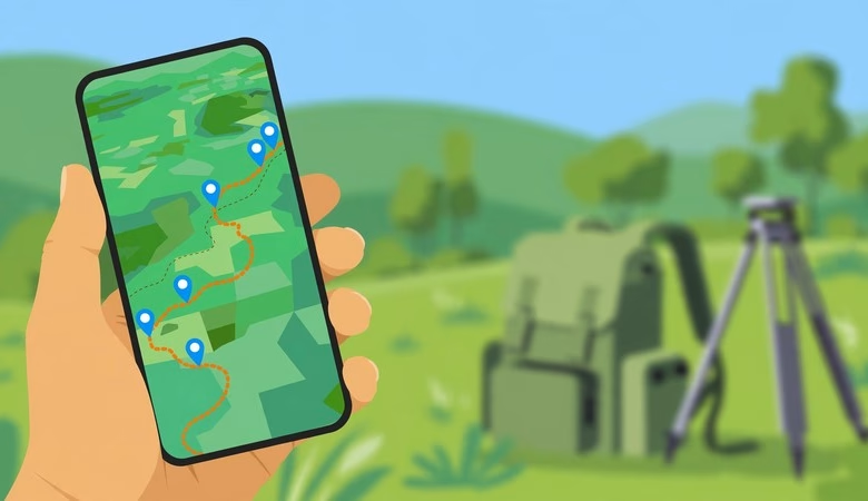
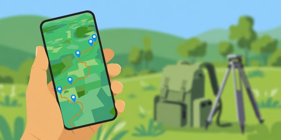
This QField field data collection guide takes you from a blank phone to your first real GPS survey. QField is the free, open-source mobile app for QGIS, built by OPENGIS.ch. Students use it to collect GPS points, lines, and polygons in the field — fully offline — then sync everything back into QGIS on their computer. This guide walks you through installing QField 4.3, preparing a survey project in QGIS, packaging it with the QFieldSync plugin, collecting data outdoors, and syncing your results back.
You need only a phone with GPS and a computer with QGIS. We keep every step plain and short. By the end, you will package a project, collect geo-tagged points with photos in the field, and merge your field edits into QGIS. Let’s begin.
QField Field Data Collection: The Complete Workflow
What Is QField and Why Do Students Use It?
QField is the official mobile companion of QGIS. It is developed by OPENGIS.ch and released as free, open-source software — no per-user fees, no subscriptions. It is even recognized as a Digital Public Good.
Students use QField for three simple reasons. First, it is completely free, while competing field apps lock features behind paid accounts. Second, it works fully offline — you prepare the project at home, collect GPS data in areas with no signal, and sync later. Third, it reads real QGIS projects, so your layers, symbology, and attribute forms travel to the phone exactly as you designed them.
The current release is QField 4.3 “Danube”. It runs on Android and iPhone, plus Windows, macOS, and Linux desktops. Our QGIS download guide covers the desktop side if you still need to install it.
System Requirements
| Component | Minimum | Recommended |
|---|---|---|
| Phone | Android 9.0+ or iPhone (App Store) | Recent Android/iPhone with GPS |
| Storage | 1 GB free on the phone | 4 GB+ free (basemaps and photos grow fast) |
| Computer | QGIS 3.x installed | Latest QGIS + QFieldSync plugin |
| Transfer | USB cable | USB cable or free QFieldCloud account |
| Internet | Only for install and downloads | Not needed in the field |
QField is light — the app itself is small. The storage goes to your offline basemap and the photos you attach to features, so keep some free space before a field day.
Step 1: Install QField on Your Phone
Get QField only from the official stores: Google Play (package ch.opengis.qfield) for Android, the Apple App Store for iPhone, or qfield.org for desktop builds. This is the only safe source. Never download field apps from random APK sites.
Open the app once after installing. It asks for location permission — grant it, and choose high-accuracy mode. Without this, GPS points will be rough or missing. Take a look at the demo project included in the app to learn the interface before your own survey.
Step 2: Install the QFieldSync Plugin in QGIS
On your computer, open QGIS and go to Plugins > Manage and Install Plugins. Search for QFieldSync and install it. This plugin is the bridge between your desktop project and your phone — it packages everything QField needs.
A QFieldSync toolbar appears after installation. Keep it visible; you will use it twice — once to package the project, and once to sync the field data back.
Step 3: Build Your Survey Project in QGIS
Create the layers you will collect in the field. Use GeoPackage format, not shapefile — one file holds points, lines, polygons, and photo attachments together, with no short field-name limits.
Add the fields your survey needs, for example: name (text), category (text), condition (text), date (date), photo (text). Good forms make fieldwork fast, so configure them under Layer Properties > Attributes Form: use a Value Map widget for fixed choices like “good / damaged / missing”, set important fields to Not Null, give the date field the default value now(), and set the photo field’s widget to Attachment.
Style the layer with a bright, simple symbol and labels — you will be reading this map in sunlight. Save the QGIS project.
Step 4: Package the Project for QField
Go to Plugins > QFieldSync > Package for QField. Choose an export folder on your computer. QFieldSync copies the project, converts paths to relative, and builds an offline basemap (MBTiles) so your map still shows without internet.
This packaged folder is the only thing your phone needs. Never copy a raw QGIS project to the phone by hand — absolute paths break, and attachments get lost. Always package with QFieldSync.
Step 5: Copy the Project to Your Phone
Connect your phone with a USB cable and set USB mode to file transfer. Copy the entire packaged folder into Internal Storage/Android/data/ch.opengis.qfield/files/Imported projects. On newer Android versions, you may need to allow file access or use a file manager app to reach this folder.
Alternatively, create a free account at qfield.cloud and push the project from the QFieldSync panel — then it downloads straight into the app, no cable needed. For a first student project, the USB method is simplest.
Step 6: Collect Data in the Field
Open QField and go to Local projects and datasets, then open your project from Imported Projects. Turn on GPS from the app’s positioning menu and wait until the accuracy reading settles — stand still for a minute in the open.
Tap the layer to edit, then press the green + button. Choose add at current position to drop the point exactly where you stand. The attribute form you designed opens: fill the fields, take a photo if needed, and save. Repeat for every feature. Everything works offline — the phone’s GPS does not need the internet.
Step 7: Sync Your Data Back to QGIS
Back home, copy the project folder from the phone to your computer via USB. In QGIS, open your original project and go to Plugins > QFieldSync > Synchronise from QField. Select the folder you copied back.
QGIS compares the field edits with your desktop layers and merges all new features and photo attachments into your master dataset. If you used QFieldCloud, open the app and push your changes, then synchronize from QGIS with Prefer Cloud to pull the field data down.
5 Mistakes Every QField Beginner Makes
1. Using shapefiles instead of GeoPackage. Shapefiles limit field names to 10 characters and handle photo attachments poorly. GeoPackage is one clean file — always use it.
2. Forgetting location permission. If the app cannot access GPS, every point is wrong. Grant location permission, use high-accuracy mode, and disable battery-saver restrictions for QField before the field day.
3. Skipping the offline basemap. Without packaging a basemap, your screen shows a blank map where there is no signal. Let QFieldSync build the MBTiles basemap during packaging.
4. Copying the project by hand. Dragging a .qgz file to the phone breaks paths and loses data. Always use QFieldSync’s Package for QField.
5. Not waiting for a GPS fix. The first reading can be 10-30 meters off. Wait for the accuracy value to drop before tapping the + button, and for real precision connect an external Bluetooth GNSS receiver.
⬇ Download QField Free (Official Site)
QField Field Data Collection FAQs
Is QField really free?
Yes. QField is free, open-source software developed by OPENGIS.ch, with no per-user fees. QFieldCloud also offers a free tier for students syncing small projects.
Does QField work without internet?
Yes — fully offline. The phone’s GPS needs no internet. Just package an offline basemap with QFieldSync before leaving, or your map screen will be blank in the field.
QField or ArcGIS Field Maps — which should I choose?
Pick QField if you use QGIS and want a free, open setup with no accounts or licenses. Field Maps fits teams already inside the Esri ecosystem. For students, QField costs nothing and pairs with free QGIS.
Can I use QField on iPhone?
Yes. QField is on the Apple App Store for iPhone and iPad, on Google Play for Android, and on the Microsoft Store for Windows — plus Linux and macOS builds from qfield.org.
How do I get my field data back into QGIS?
Copy the project folder back via USB, then use QFieldSync > Synchronise from QField in QGIS. With QFieldCloud, push from the app and sync from QGIS with Prefer Cloud.
Why is my GPS position inaccurate?
Wait for the accuracy reading to settle, stand in the open away from buildings and dense trees, and use high-accuracy mode. Phone GPS is typically 3-5 meters; an external Bluetooth GNSS receiver gives sub-meter precision.
System requirements (QField 4.3): Android 9.0+ or iPhone | 1 GB free phone storage (4 GB+ recommended) | QGIS 3.x with QFieldSync plugin on computer | USB cable or free QFieldCloud account | internet only for install. QField is free from qfield.org and the official app stores.
Related posts: QGIS Download for Windows, MacOS and Linux · GIS Computer Requirements for Software · 12 Best Free GIS Software for Students (2026)
You installed QField, prepared a survey project in QGIS with proper attribute forms, packaged it with QFieldSync, copied it to your phone, collected GPS points with photos fully offline, and synced the field edits back into QGIS. That is the complete field data collection workflow — the same loop used by real survey teams worldwide. Practice it on a small survey around your campus this week, then try QFieldCloud for team projects. QField is free, offline-capable, and yours to master. Go collect some data.