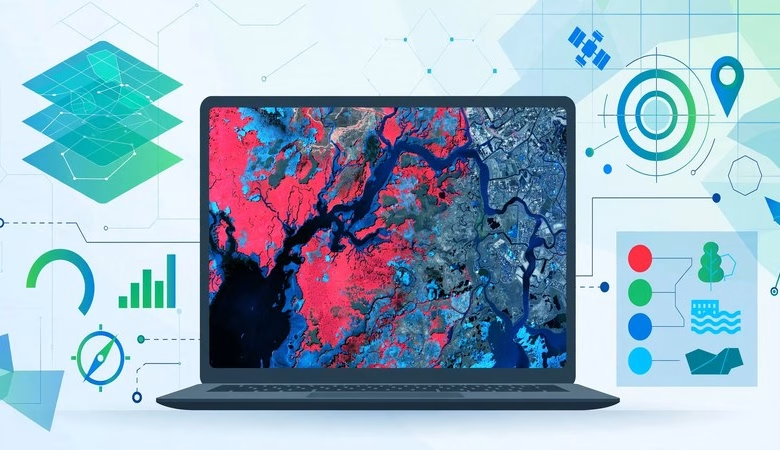
Looking for a free ILWIS download for your remote sensing coursework? ILWIS (Integrated Land and Water Information System) is a free, open-source GIS and remote sensing package that handles both raster and vector data in one program. Developed at ITC Enschede in the Netherlands for students and researchers, it has been free since 2007. The current release, version 3.8.6, covers image classification, digitizing, georeferencing, hydrological analysis, and 3D visualization. This guide gives you the official download link, Windows install steps, system requirements, and answers to the questions students ask most.
ILWIS Free Download and Install Guide
What Is ILWIS?
ILWIS stands for Integrated Land and Water Information System. It is a desktop GIS and remote sensing program written in C++ and maintained by the 52°North ILWIS Community. It combines image processing, vector digitizing, spatial analysis, and map production in a single Windows application. For more than two decades it has been a classroom standard in remote sensing courses, with ready-made training modules and user guides to download. It is released under the GPL license, so it is free forever — no trials, no license keys, no locked features.
What’s New in ILWIS 3.8.6
Version 3.8.6 is the latest stable release (January 2020) and the one you should install. It restored the on-screen digitizer for creating and editing point and segment maps. MapView functionality returned, so you can save and reopen multi-layer compositions. Support was added for grid-like georeferences with thousands of control points. The Triple Collocation application joined the toolbox, and the mouse wheel now zooms the map window directly. Earlier 3.8 releases rewrote the visualization engine, which made map drawing noticeably faster.
ILWIS System Requirements
| Component | Requirement |
|---|---|
| Operating System | Windows XP through Windows 11 (32-bit and 64-bit supported) |
| RAM | 2 GB minimum, 4 GB recommended for large satellite scenes |
| Disk Space | ~100 MB free (installer is about 27 MB) |
| Processor | Any modern CPU; no special GPU needed |
| License | None — free and open-source (GPL) |
| Mac / Linux | No native build; see FAQ below |
How to Download and Install ILWIS on Windows
1. Click the official download button below to open the 52°North release page.
2. Download the ILWIS 3.8.6 Windows installer (a small ~27 MB file).
3. Run the installer and accept the defaults — a standard Windows setup wizard.
4. Launch ILWIS from the Start menu. No account, key, or activation is needed.
5. To learn the basics, work through the free ILWIS user guides and training modules linked on the official site — they walk you from first map to image classification.
Key Features for Remote Sensing Students
ILWIS ships a complete image processing toolkit: filters, resampling, aggregation, and supervised and unsupervised classification. It handles orthophotos, image georeferencing, transformation, and mosaicing. The vector side offers precise on-screen digitizing of points, segments, and polygons. Analysis tools include hydrological flow operations, Spatial Multiple Criteria Evaluation (SMCE), kriging and other geostatistics, DEM operations, and a surface energy balance (SEBS) module. GDAL-based import and export moves data in and out of almost any GIS format.
ILWIS vs GRASS GIS and ESA SNAP
ILWIS is often compared to GRASS GIS — both are free, open-source, and strong at raster analysis. ILWIS is Windows-only and deliberately beginner-friendly, while GRASS runs cross-platform with a steeper learning curve. ESA SNAP is the better pick for processing Sentinel products out of the box, but ILWIS is lighter, installs in minutes, and its ITC training material is a natural fit for university courses. Many students install both ILWIS and SNAP side by side.
Download ILWIS — Free Official Link
Official 52°North release repository — ILWIS 3.8.6 for Windows. (The old 52north.org download page is offline; GitHub is now the official source.)
Frequently Asked Questions
Is ILWIS really free?
Yes. ILWIS has been free, open-source software under the GPL license since July 2007. Students, teachers, and researchers can download, install, and use it without paying anything or registering.
Does ILWIS work on Windows 11?
Yes. ILWIS runs on Windows XP through Windows 11, on both 32-bit and 64-bit systems. It needs no special hardware — any student laptop runs it comfortably.
Is ILWIS available for Mac or Linux?
There is no native Mac build and no native Linux build. Windows is the only supported platform. A Linux Wine manual exists, and the long-term ILWIS NG roadmap aims for cross-platform support, but for now Windows is required.
Which ILWIS version should I download?
Download ILWIS 3.8.6 — the latest stable release. Ignore old mirrors offering “ILWIS Academic 3.0” or version 3.3, which are outdated and lack years of bug fixes. Always use the official 52°North release page linked above.
How is ILWIS different from QGIS?
QGIS is a general-purpose desktop GIS with a huge plugin ecosystem. ILWIS is smaller and focused on remote sensing and raster analysis, with classroom-ready training material from ITC. They complement each other — many courses teach QGIS for vector work and ILWIS for image processing.
Can I use ILWIS for my university coursework?
Absolutely — that is what it was built for. ILWIS was developed at ITC Enschede for its own researchers and students, and ITC’s Principles of Remote Sensing course ships ILWIS with its practical exercises. It is a safe, legitimate free tool for assignments and theses.
Related Posts: Top Remote Sensing Software · ESA SNAP Download + First Sentinel-2 Project · GDAL 3.13 Free Download · GRASS GIS Beginner Guide
ILWIS 3.8.6 remains one of the fastest ways for students to start doing real remote sensing work on Windows — free, classroom-tested, and light enough for any laptop. Download it from the official link above, work through the ITC training modules, and your first classified satellite image is an afternoon away.
Disclosure: Some links on this page are affiliate links. If you buy a book through them, CartoGeek may earn a small commission at no extra cost to you. This helps keep our GIS guides free for students. Thank you for your support!
Recommended Remote Sensing Books

Introductory Digital Image Processing: A Remote Sensing Perspective (4th Edition)
by John R. Jensen
The standard university textbook on digital image processing of satellite and aerial imagery, covering how to extract biophysical information from remote sensor data. Extensively illustrated with a substantive reference list in every chapter for students starting research projects.
Pros:
- The definitive textbook — used in remote sensing courses worldwide
- Deep coverage from theory to analytical methods
- Strong reference lists for further study
Cons:
- Expensive textbook pricing
- Heavy on theory — not a software click-by-click guide

Remote Sensing and Image Interpretation (7th Edition)
by Thomas Lillesand, Ralph W. Kiefer, Jonathan W. Chipman
A discipline-neutral classic for introductory remote sensing and image interpretation courses, valued by GIS students and practitioners alike. Clear explanations of technical concepts with color imagery placed to support learning.
Pros:
- Trusted classic — decades of classroom use
- Discipline-neutral, suits geography, forestry, planning and more
- Good as both textbook and professional reference
Cons:
- Print quality varies by printing
- Some digital editions have limited e-reader compatibility