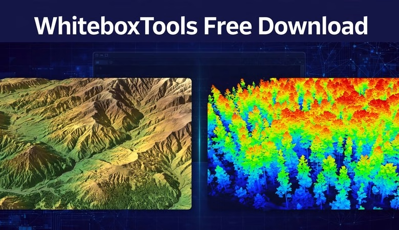
This WhiteboxTools free download guide takes you from zero to your first DEM and LiDAR analysis in one sitting. WhiteboxTools is the free, open-source geospatial analysis platform built by Prof. John Lindsay at the University of Guelph — and it has a reputation among geomatics students for one thing: speed. Written in Rust, it ships with over 500 free tools for terrain analysis, hydrology, stream networks, and LiDAR point-cloud processing, all in a single tiny download with no license fees. This guide walks you through downloading WhiteboxTools, running it on Windows, macOS, or Linux, turning a free elevation DEM into a hillshade, and trying its famous LiDAR tools — from QGIS, Python, or the plain command line.
You need only a free elevation file (SRTM or a LiDAR LAS/LAZ tile) and a few minutes. Every step is short and plain. Let’s begin.
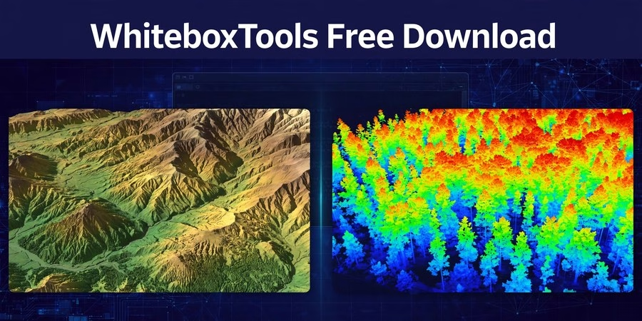
WhiteboxTools Free Download and First DEM and LiDAR Project
What Is WhiteboxTools?
WhiteboxTools is a free, open-source geospatial analysis platform (MIT license) created by Prof. John Lindsay at the University of Guelph, Canada. It is written in Rust, so it runs much faster than most desktop GIS toolsets and needs only a few megabytes of disk space.
It ships with over 500 tools grouped into categories like Terrain Analysis, Hydrological Analysis, Stream Network Analysis, LiDAR Analysis, Image Analysis, and GIS Analysis. Its strongest suits are DEM work (hillshade, slope, flow accumulation, watershed delineation) and LiDAR point-cloud processing (normalization, tree detection, surface gridding).
Students pick WhiteboxTools for three reasons. First, it is completely free — MIT-licensed, no paid tier for the Open Core. Second, it is tiny and portable: one binary, no installer, no admin rights, no Java. Third, it plugs into everything — you can run it from the command line, from the Whitebox Runner app, inside QGIS as a plugin, from Python with pip install whitebox, from R, or from Jupyter notebooks.
The current stable release is v2.4 of WhiteboxTools Open Core. Note for 2026: the author is building a successor called “Whitebox Next Gen” with 700+ tools — the classic Open Core below still works perfectly and is the one the QGIS and Python frontends use today.
System Requirements
| Component | Minimum | Recommended |
|---|---|---|
| OS | Windows 10/11 (64-bit), macOS, Ubuntu 20.04+ | Any current 64-bit OS |
| RAM | 2 GB | 8 GB+ for large LiDAR point clouds |
| Disk | ~10 MB for the binary | 2 GB+ free for DEMs and LiDAR tiles |
| CPU | Any dual-core | Quad-core for faster batch runs |
WhiteboxTools needs no Python, no Java, and no installation. It even runs from a USB stick on Windows.
Step 1: Download WhiteboxTools from the Official Page
Go to whiteboxgeo.com/download-whiteboxtools and pick the Open Core build for your system (Windows, macOS, or Linux). The page uses a pay-what-you-want model — choose $0 to download the free MIT-licensed Open Core.
The download is a zip file with no installer. Extract it to a simple folder, like C:WBT on Windows or ~/WBT on Linux/macOS. Inside you will find the binary: whitebox_tools.exe on Windows, or whitebox_tools on macOS and Linux.
On macOS, right-click the binary and choose Open the first time to clear Gatekeeper; on Linux, run chmod +x whitebox_tools once. That is the entire installation.
Step 2: Run It — Three Ways
Command line: open a terminal in the WBT folder and run whitebox_tools --listtools. You will see all 500+ tools listed. Tool help works the same way, for example whitebox_tools --toolhelp=Hillshade.
Whitebox Runner: the zip also includes the Runner app (v2.0, also written in Rust). Open it to browse tools in a modern window with no dependencies — great for beginners who do not like terminals.
Inside QGIS (recommended for students): install the free WhiteboxTools for QGIS plugin from Plugins > Manage and Install Plugins. Then go to Processing > Toolbox > Options, expand the WhiteboxTools provider, and point WhiteboxTools executable to your binary. All 500+ tools now appear in the QGIS Processing Toolbox.
Step 3: Your First DEM Project — Hillshade and Streams
Terrain analysis needs a digital elevation model. Download one free 30-meter SRTM tile for your study area from OpenTopography or USGS EarthExplorer — any GeoTIFF DEM works. Keep it small for your first run.
From the QGIS plugin or Runner, run Hillshade on the DEM. In seconds you get the classic shaded-relief map. Then run FillDepressions (removes spurious sinks), followed by D8FlowAccumulation — high values trace the river channels. Finish with ExtractStreams to pull out the stream network as a vector layer.
You now have a hillshade and a stream network from one free DEM. That is the core WhiteboxTools terrain workflow — and it ran in seconds, with no license involved.
Step 4: Try the LiDAR Tools
WhiteboxTools is one of the best free tools for LiDAR. Grab a free LAS or LAZ tile (many national mapping agencies publish them open) and try these.
Run LidarInfo to get a quick summary of the point cloud. Then run NormalizePointCloud — it converts elevation values to height above ground, which is the step every canopy or building analysis needs. From there, LidarTinGridding builds a smooth surface model, and IndividualTreeDetection finds the tops of single trees.
This DEM-to-LiDAR range in one free package is exactly why remote-sensing labs teach WhiteboxTools alongside QGIS.
⬇ Download WhiteboxTools Free (Official Site)
WhiteboxTools Free Download FAQs
Is WhiteboxTools really free?
Yes. WhiteboxTools Open Core is free, open-source software (MIT license) with over 500 tools. The official download page lets you pay $0. Note that the separate Whitebox Toolset Extension (WTE) is a paid add-on — the Open Core is free on its own.
Do I need Python to use WhiteboxTools?
No. The binary runs alone, the Whitebox Runner app runs alone, and the QGIS plugin needs only QGIS. Python (pip install whitebox) and R bindings exist if you want to script it.
How is WhiteboxTools different from QGIS terrain tools?
QGIS is the full mapping environment; WhiteboxTools is a focused analysis engine. Its Rust speed, 500+ tools, and deep LiDAR and hydrology tools go further than QGIS built-ins — and the QGIS plugin lets you use both together.
Is WhiteboxTools being replaced by Whitebox Next Gen?
The author is building Whitebox Next Gen as the future successor. For now, WhiteboxTools Open Core v2.4 is stable, fully supported by the QGIS/Python/R frontends, and the right download for class and project work.
Where do I get free DEM and LiDAR data?
Use OpenTopography or USGS EarthExplorer for free 30-meter SRTM DEMs, and national open-data portals for free LiDAR LAS/LAZ tiles. One small tile of each is enough to learn every step in this guide.
Will WhiteboxTools run on a low-end student laptop?
Yes — that is its selling point. The whole binary is a few megabytes, it needs no installer or admin rights, and the Rust engine processes tiles faster than most desktop GIS tools on the same machine.
Related posts: Grass GIS Download for Windows and macOS · 20 Best GIS Software Applications with Download link · GIS Computer Requirements for Software
You downloaded WhiteboxTools free, ran it three ways, turned a free DEM into a hillshade and stream network, and normalized a LiDAR point cloud — the exact workflow behind flood-risk maps, watershed studies, and canopy-height models. Next, try the Topographic Wetness Index for landslide mapping, or script your whole DEM pipeline in Python with the whitebox package. WhiteboxTools is free, fast, and yours to master. Go analyze some terrain.
Disclosure: Some links on this page are affiliate links. If you buy a book through them, CartoGeek may earn a small commission at no extra cost to you. This helps keep our GIS guides free for students. Thank you for your support!
Recommended GIS Books
Learning Geospatial Analysis with Python (3rd Edition)
by Joel Lawhead
A systematic guide to GIS and remote sensing analysis with Python, covering geodatabases, raster data, PostGIS, QGIS integration and workflow automation. Readers build real analytical skills, from thematic mapping to flood modeling.
Pros:
- Bridges GIS and Python — the highest-demand skill combo
- Practical projects, not just theory
- Covers the open-source stack (GeoPandas-style workflows, PostGIS, QGIS)
Cons:
- Requires basic Python knowledge first
- Some library versions have moved on since publication